Kent could get 2 to 7 inches of snow Monday evening into Tuesday
Published 11:55 am Monday, December 19, 2022
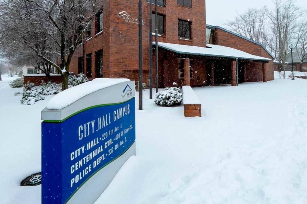
Kent could get anywhere from 2 to 7 inches of snow over the next two days, according to a winter storm watch issued by the National Weather Service (NWS).
Snow is expected to start at about 7 p.m. Monday, Dec. 19 and continue into Tuesday evening, Dec. 20, according to a NWS report released at 9:40 a.m. Monday.
The winter storm watch covers the Western Skagit County-Everett and vicinity; Tacoma area; Admiralty Inlet; Hood Canal; Eastern Strait of Juan de Fuca; Western Strait of Juan De Fuca; North Coast-East Puget Sound lowlands-Bellevue and vicinity; Seattle and vicinity; and Bremerton and vicinity.
Temperatures are predicted in Kent to be a high of 33 with a low of 28 on Monday; a high of 36 with a low of 23 on Tuesday; a high of 32 and a low of 17 on Wednesday; a high of 31 and low of 22 on Thursday; a high of 38 and low of 34 on Friday. Christmas Eve day and Christmas Day temperatures are predicted to be in the 40s.
Winter storm watch details:
• WHAT…Heavy snow possible. Total snow accumulations of 2 to 7 inches possible.
• WHERE…Portions of northwest and west central Washington.
• WHEN…From 7 p.m. Monday evening through Tuesday evening.
• IMPACTS…Plan on very difficult travel.
Kent winter shelter
The Kent Severe Weather Shelter at Holy Spirit Church (310 Third Ave. S.), will be activated at 9 p.m. on Tuesday, Dec. 20 and again at 9 p.m. on Wednesday, Dec. 21, according to the city of Kent.